Welcome to Stivender Surveying
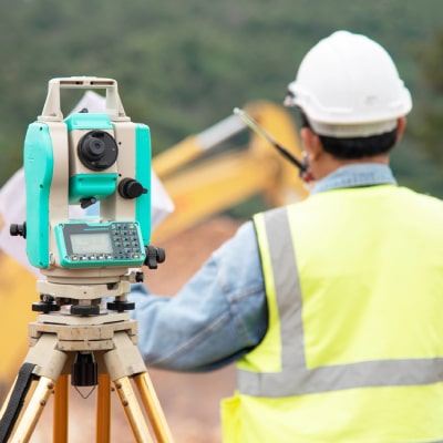
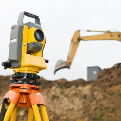
Delivering precise and timely services in Sebring, FL, Stivender Surveying is proud to be a locally owned company utilizing the latest technology for all your surveying needs. Our expertise spans a wide range of services, including boundary line surveying and elevation certificate surveying. We specialize in applications that demand accurate measurements and certifications, ensuring compliance and reliability in every project. Integrating traditional methods with innovative tools, such as drone technology, adds efficiency and enhanced detail to our work.
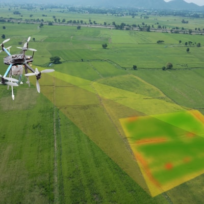
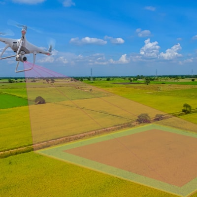
Advanced services, like aerial drone mapping and topographic drone surveying, enable us to capture high-resolution data of even the most complex terrains. These tools pair seamlessly with drone data processing services to generate detailed and actionable maps. Such capabilities enhance the utility of surveys, including construction site surveys and as-built land surveys, where precision is critical for planning and development stages. Each project benefits from our dedication to accuracy.
Local expertise combined with technology-driven solutions defines Stivender Surveying’s approach. Specialized services such as GIS data mapping and ALTA survey services cater to specific client needs, providing reliable results for projects of all complexities. Our commitment to precision, timeliness, and advanced technology ensures we consistently deliver results that meet industry standards. Locally rooted, we’re driven to serve Sebring, FL, with unmatched professionalism and tailored solutions. Give Stivender Surveying a call today!